


How a Vancouver Surveyor Helps with Property Boundaries, Development, and Construction
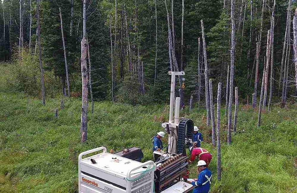
Property boundaries and physical site conditions can influence almost every stage of a property project. Whether a site is being purchased, renovated, developed, or prepared for construction, accurate information helps property owners and project teams make decisions based on actual conditions. A Vancouver Surveyor can provide professional survey information relating to boundaries, elevations, existing improvements, and other features that may affect a project. This information can support planning, design, municipal processes, and construction while helping reduce uncertainty. Understanding the role of surveying can therefore be valuable before significant decisions are made about a property.
Establishing Property Boundaries
Property boundaries are not always represented accurately by visible features such as fences, driveways, landscaping, or existing structures. A professional survey can establish the relationship between legal boundaries and physical improvements using field measurements and relevant property records. A Vancouver Surveyor can help identify boundary locations and document conditions that may be important during a transaction or development project. A common challenge is discovering a potential encroachment only after construction or other improvements have begun. Clarifying boundary information early can provide property owners with a better understanding of the land before significant commitments are made.
Supporting Development Planning
Development decisions depend on more than the size and location of a property. Topography, existing structures, access, easements, utilities, drainage, and neighbouring improvements can all affect how land can be developed. A Vancouver Surveyor can provide measurements and site information that architects, engineers, planners, and developers use when preparing designs. In many situations, accurate survey information helps project teams identify physical constraints before detailed plans are finalized. This can reduce the likelihood of designing around incorrect assumptions and make it easier to coordinate proposed improvements with the actual characteristics of the property.
Assisting With Construction
Surveying remains important after design and planning are complete. During construction, surveyors may establish building locations, elevations, grades, and other reference points required to position improvements according to approved plans. A Vancouver Surveyor can provide this construction layout information so contractors and other professionals have reliable points of reference. This is especially important on urban properties where buildings may be close to neighbouring structures or where small differences in positioning can affect setbacks, access, grading, and drainage. Accurate construction surveying can therefore help project teams maintain consistency between design documents and the physical work taking place on the site.
Supporting Municipal Requirements
Property development in Vancouver may involve municipal requirements relating to land use, setbacks, development applications, subdivision, servicing, and construction. Accurate survey information can form part of the technical documentation needed to describe existing property conditions and proposed improvements. One important consideration is that surveying and municipal approval serve different purposes, although they often work together within a development process. A Vancouver Surveyor can provide factual information about boundaries, dimensions, elevations, and site features that supports the preparation and review of project plans. Understanding these requirements early can help project teams incorporate appropriate survey information into their planning.
Creating Value Beyond the Current Project
Survey information can remain useful after a transaction, development, or construction project has been completed. Property owners may later consider renovations, additions, redevelopment, subdivision, or other changes that require an accurate understanding of existing conditions. A Vancouver Surveyor can create records that serve as a useful reference for future property decisions and help new professionals understand the site's established information. By confirming boundaries, documenting physical conditions, and supporting accurate planning and construction, professional surveying can reduce uncertainty at several stages of property ownership and contribute to better-informed decisions over the long term.
For More Information About Land Survey Company Regina and Land Survey Services Saskatchewan Please Visit: Connexa Group.

 English
 Arabic
 French
 Spanish
 Portuguese
 Turkish
 Dutch
 Italiano
 Russian
 Romaian
 Portuguese (Brazil)
 Greek