


How British Columbia Land Surveyors Support Coordination Between Designers, Builders and Municipalities
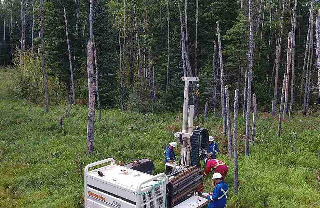
Property development involves more than architectural plans and construction schedules. Designers, builders and municipalities each work with different responsibilities, requirements and sources of information, making accurate site data essential for keeping a project aligned. British Columbia Land Surveyors play an important role in establishing reliable information about boundaries, elevations, existing improvements and other physical characteristics of a property. When this information is incorporated early into project planning, different parties can work from a consistent understanding of the site, reducing discrepancies that may otherwise affect design decisions, approvals and construction.
Establishing a Reliable Site Reference
A development project often begins with information gathered from previous plans, property records and site observations. However, these sources may not fully reflect current conditions. British Columbia Land Surveyors can establish accurate spatial information that provides designers and engineers with a dependable reference for preparing plans. Boundary locations, site elevations, structures and other relevant features can be documented according to the requirements of the project. This common reference point allows subsequent design and construction decisions to be based on measured conditions rather than assumptions or outdated information.
Connecting Design With Existing Conditions
Architectural and engineering plans must correspond with the physical characteristics of the property. A small discrepancy in elevation, boundary position or the location of an existing feature can create complications when construction begins. British Columbia Land Surveyors contribute information that enables design professionals to assess how proposed improvements relate to the actual site. This is especially important for projects involving tight urban lots, additions, redevelopment or changes to existing structures. Early coordination can reveal conflicts before they become costly construction adjustments or require revisions to approved plans.
Supporting Municipal Review
Municipalities assess development proposals against applicable zoning, land-use and construction requirements. Accurate survey information can form part of the documentation needed to demonstrate how a proposed development relates to the property and surrounding conditions. British Columbia Land Surveyors may therefore contribute information that supports communication between project teams and municipal planning authorities. In many situations, clearly established property and site information makes it easier to evaluate setbacks, elevations, access arrangements and other development considerations. Reliable surveying information can also reduce confusion when municipal records and current site conditions differ.
Improving Construction Coordination
Once plans have been approved, accurate information remains important during construction. Builders need dependable reference points to position structures and other improvements according to the design. Survey information can assist with establishing locations and elevations so that physical construction corresponds with the approved plans. A common challenge is maintaining consistency between what was designed, what was approved and what is ultimately built. Coordination between surveyors and construction teams can help identify positional discrepancies before they affect later stages of the project, particularly where several trades and professionals are working within limited site space.
Creating Greater Project Certainty
Successful development depends on different professionals working from information that is accurate, current and appropriately coordinated. British Columbia Land Surveyors can contribute to this process by connecting property information with design requirements, municipal review and construction activities. Their work provides an important spatial foundation that allows architects, engineers, builders and municipalities to understand how proposed improvements relate to the actual property. For developers and property owners, this coordination can reduce uncertainty and improve decision-making throughout a project. Ultimately, reliable survey information helps maintain alignment from initial planning through construction and supports more predictable development outcomes.
For More Information About Real Property Reports Services Regina and Survey Services Saskatchewan Please Visit: Connexa Group.

 English
 Arabic
 Spanish
 Portuguese
 Deutsch
 Turkish
 Dutch
Dutch
 Italiano
 Russian
 Romaian
 Portuguese (Brazil)
 Greek
Greek